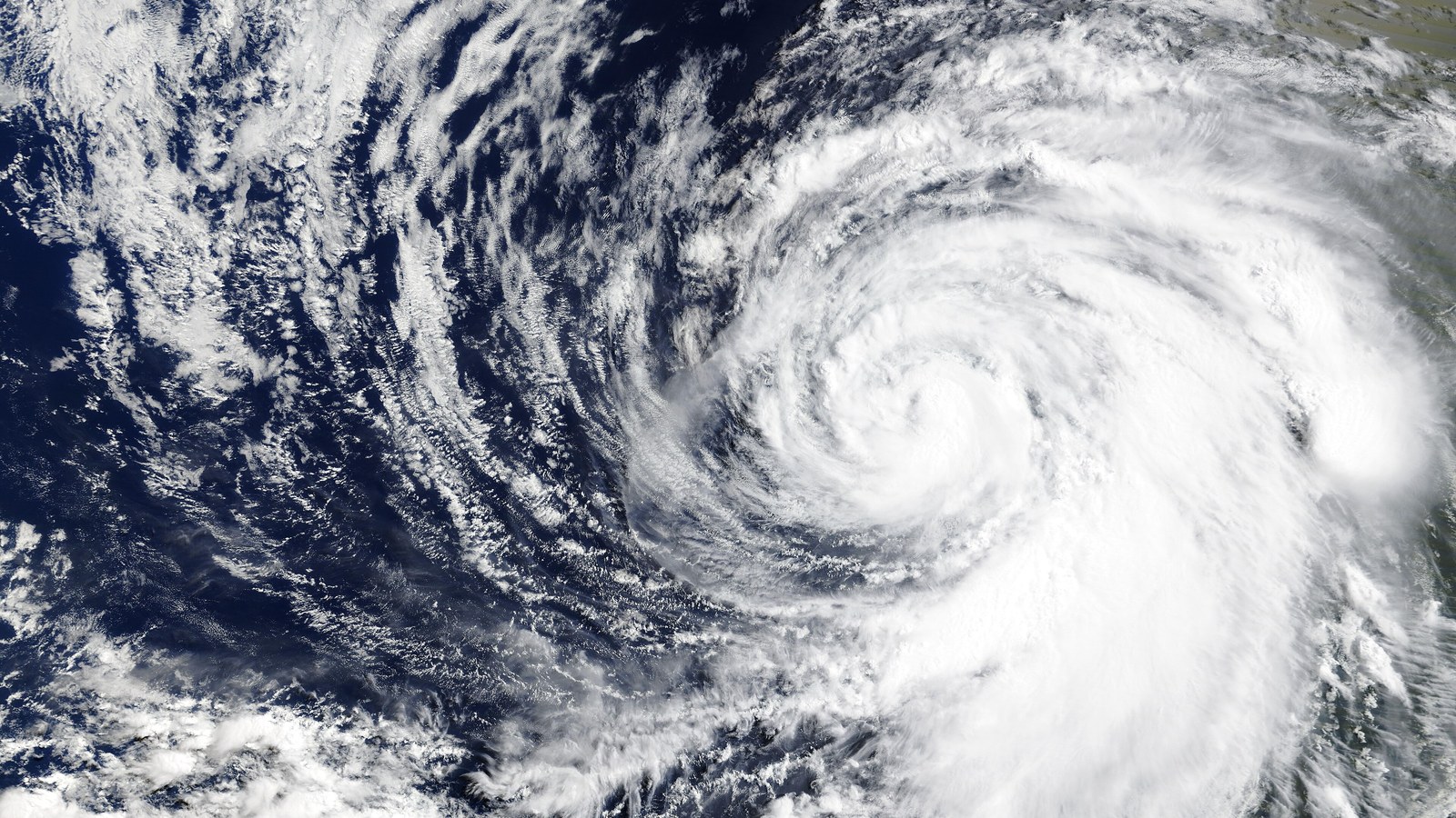
Hurricane Polo has strengthened to Category 4 intensity in the Pacific off Mexico, according to the Associated Press, while the storm's projected path keeps its core offshore for now.
The distance from the centre of the cyclone does not remove the risk. The latest reporting points to heavy rain affecting parts of southwestern Mexico, where rainfall can produce flooding and landslides even when the strongest winds stay at sea.
The Category 4 label describes the storm's sustained wind strength; it is not a complete forecast of local damage. Exposure depends on the track, rainfall totals, terrain and the condition of drainage and transport networks along the coast.
Residents and visitors should follow official alerts from Mexican authorities and the National Hurricane Center rather than relying on social-media maps or old forecasts. Storm tracks can change, and the most important update may concern rain bands well away from the eye.
Polo's intensification is a reminder of how quickly Pacific systems can move through the warning cycle. The immediate story is the forecast track; the public-safety story is whether communities have time to prepare for water, not just wind.
Reader comments
Subscribers can join the conversationSign in to join the conversation. Comments are open to everyone with a free account.
Sign in or create accountLoading comments…